I'm signed up and planning to run my 5.0, my first time at this event. As with all new venues of this type (distance race on Saturday), understanding and navigating the course is a concern (i.e. you can't see from one mark to another). Since you did it last year, how did you navigate it? Second, what marks/buoys did they use? What is the lat and long of the buoys they use so I can input them to my GPS. Got a chart of the area you can put on here?
We have 4-5 boats from Oak Hollow Sailing Club doing the event this year.
Edited by leeboweffect on Aug 22, 2019 - 11:33 AM.
-- Hobie 16 (3 formerly)
MacGregor 25 (formerly)
Chrysler Dagger 14 (formerly)
NACRA 5.0 (currently)
High Point, NC --
The course on Saturday is down the Sound to a channel market and back, they choose the mark based on the class (spin or non spin classes) and the wind conditions for the day.
They do provide the GPS coordinates if the marks so that a good idea if you have one.
I've sailed to the wrong mark before and it sucks.
Sunday is more traditional bouy racing two or three races depending on wind.
Wondering about stuff like where boats are kept overnight and if it is possible to tent camp on or next to the boat. I just got my boat Monday and if I can get it in the water next week I may try and drive over from Tallahassee.
Also looking forward to meeting some other forum members for the first time!
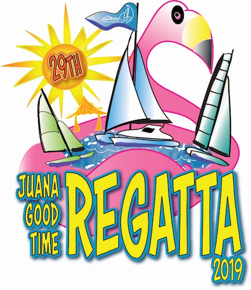
Marks: Other than the ICW channel markers for the distance race, the pin, weather mark, etc. have lately been giant inflatable pieces of pizza, flamingo, doll....stuff like that....it's that kind of regatta. TL's (PRO) mantra is to put the FU back in FUN.
Camping: I doubt it's technically legal on the beach, so I doubt you'd be able to get anyone of authority to say that it's okay, but it has been done without incident. People park RVs, trailers, etc. in the parking lot overnight as well, which is normally prohibited. Not sure if the authorities just look the other way for a few days or if it's being done by permit or such.